


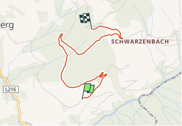

12 km | 17,9 km-effort

Tous les sentiers balisés d’Europe GUIDE+


Kostenlosegpshiking-Anwendung
 SityTrail
IGN / Geografische Institute
SityTrail World
Die Welt öffnet sich für Sie
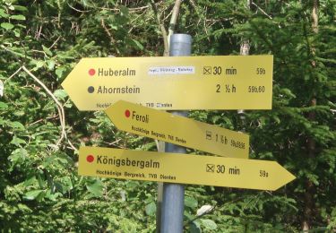
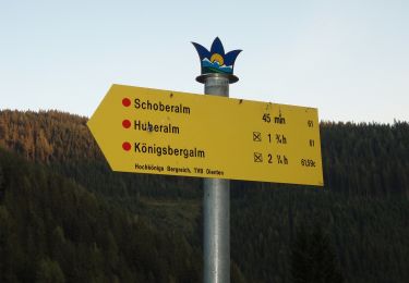
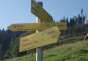
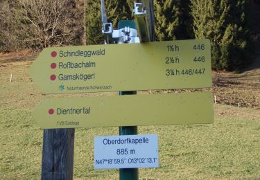
Tour Zu Fuß von 3,5 km verfügbar auf Salzburg, Bezirk Zell am See, Dienten am Hochkönig. Diese Tour wird von SityTrail - itinéraires balisés pédestres vorgeschlagen.
Trail created by TVB Hochkönig.
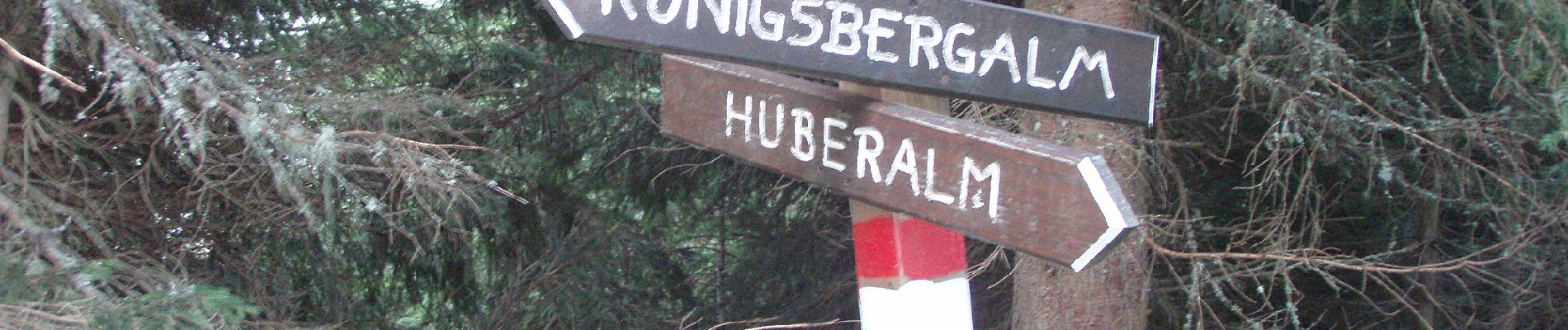
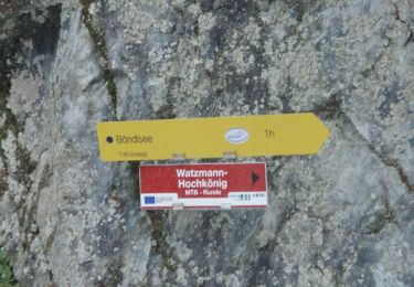
Symbol: rot-weiss-rot


Zu Fuß
Zu Fuß
Zu Fuß
Zu Fuß
Zu Fuß
Zu Fuß
Zu Fuß
Zu Fuß
Zu Fuß